


Record Low Reached In Dryden
It was record breaking Friday in the City of Dryden.
The airport reported a low of -5.2.
That beat the old mark of -2.5 set in 1981.
The cold spots in the region were Ignace at -7. and Upsala at -9.1.

It was record breaking Friday in the City of Dryden.
The airport reported a low of -5.2.
That beat the old mark of -2.5 set in 1981.
The cold spots in the region were Ignace at -7. and Upsala at -9.1.

The month of April was cold but dry in the Dryden area.
Bill Laidlaw of Signal Weather Services says the average temperature was 0.6 degrees, below the normal of 3.0.
Laidlaw says the warm day was April 30th at 19.4, while the low point was April 4th at -14.2.
The hot spot for the entire month in the region was Red Lake yesterday reaching 21.1.
He says it was the fifth coldest April since 2001, not as cold as 2014 which we saw an average temperature of -2.0.
Laidlaw says precipitation was below average with 21 millimetres of snow and rain over a nine day period.
The normal amount is about 30 millimetres.
Laidlaw says the big day was April 3rd where we had 10.4 millimetres of rain.
The CKDR Meterologist says we should be entering a dry trend starting on Monday.

Another reason to stay home and self-isolate.
An intense slow moving low is headed our way from Manitoba.
Bill Laidlaw of Signal Weather Services says the system will hit Kenora, Red Lake, Ear Falls and Vermilion Bay later this morning (Thursday), reaching Dryden, Sioux Lookout and Ignace later this afternoon/evening.
Laidlaw says we can initially expect 10-12 millimetres of rain.
That will turn into freezing rain in the evening with up to 2 millimetres of ice on surfaces.
Laidlaw adds that will be followed by roughly 5 centimetres of heavy, wet snow.
He says it will clear up Saturday with a high of +2.

The month of March was mild and dry in the Dryden area.
Bill Laidlaw of Signal Weather Services says the average temperature was -4.5, 1.6 degrees above normal.
Laidlaw says we definitely went out like a lamb because the warm day for March was on the 31st at 11.7 degrees.
However, he says in the middle of the month it felt like we were in the deep freeze as the cold day was -20.2 on March 21st.
Laidlaw is reporting a total of 3.8-millimetres, about one tenth of normal.
He notes we only had nine days of reported precipitation at the airport in March.
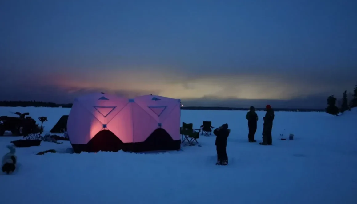
The month of February was cold and dry in the Dryden area.
Bill Laidlaw of Signal Weather Services says the average temperature was -13.1 which is right on the long term average.
Laidlaw notes the high temperature for the month was 4.7 on February 22nd, while the cold day was the 13th at -33.4 degrees.
Laidlaw adds it was an extremely dry month with only 2-centimetres of snowfall about one tenth of the normal amount.
He notes the current snow won’t vanish in a hurry as he’s predicting a cool month of March.
As for the morning commute today (Monday), motorists are urged to slowdown with some freezing rain hitting our area overnight.
(Photo Credit: Ashley Reynolds)

French schools in the region will be open on Thursday as the one-day rotating strike has been called off.
The union representing Ontario French-language teachers has suspended the job action.
The reason given is “as a result of weather forecasts in many regions of Ontario.”
This includes Dryden’s École catholique de l’Enfant-Jésus, Red Lake’s École catholique des Étoiles-du-Nord and Ignace’s École Immaculée-Conception.
Bus transportation will also be operating normally as well.
https://www.facebook.com/csdcab/posts/1651852114996413

Two record low temperatures were recorded Thursday.
Dryden hit -33.4, eclipsing the old mark of -32.2 set in 1970.
Fort Frances was -38, beating the old record of -34.8 established in 2016.
The cold spot in northwestern Ontario yesterday was Atikokan at -38.4 degrees, however that wasn’t enough for a new record.
(Photo Credit: Ashley Barker)

Make sure you bundle up when you head outside today. (Wednesday)
An Extreme Cold Warning is in place across the region.
Wind chill values are at around minus 40 this morning, with similar temperatures expected again overnight into Thursday morning.
It’s suggested that you dress in layers and ensure your outer layer is wind resistant.
The high winds is also making travel a bit more difficult with blowing snow and poor visibility in parts of the region.
All highways remain open but caution is urged.

A special weather statement is in place for much of the region.
Significant snowfall is expected today (Friday) and Saturday.
The system is expected to arrive late this afternoon and could bring anywhere from 10 to 20 centimetres of snow.
We can expect wind gusts reaching up to 50-kilometres an hour, leading to blowing snow and hazardous driving conditions.

Local motorists are being asked to slow down and be extra careful when travelling today. (Tuesday)
A Snow squall warning was issued early this morning.
It has been removed with the exception of Ignace.
We still may see periods of brief but intense snowfall and poor visibility for motorists.
All major highways are open at this time and all school buses are scheduled to run.